


Aerial Support Program
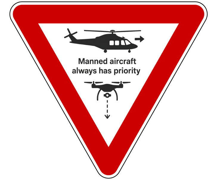 The University of Maryland, Baltimore (UMB) Office of Emergency Management has launched a small Uncrewed Aerial System (UAS) to enhance our ability to identify and mitigate impacts from hazards, gain situational awareness during emergency response, and support the safety of our UMB community.
By offering an immediate aerial perspective, drones help incident managers assess situations more quickly and coordinate an effective response and recovery. This program is about giving our teams better information in critical moments so we can respond faster, more effectively, and with the safety of our community in mind.
All aerial support is done in strict accordance with constitutional and privacy rights and Federal Aviation Administration (FAA) regulations. UMB’s drone operations follow FAA Title 14 CFR Part 107 and FAA Title 14 CFR Part 91 regulations, which require that small, unmanned aircraft always yield the right of way to crewed aircraft such as helicopters and airplanes. This means UMB drones will delay takeoff, immediately move aside, or land if a manned aircraft is in the area.
Protecting Your Privacy
Click to view recent aerial support missions
- Visibility: UMB UAS fly with flashing lights that are visible for at least 3 miles in all directions.
- No Random Surveillance: All UMB UAS flights are conducted ethically and for a specific lawful task. UMB UAS does not collect, disseminate, or retain recorded images, sounds, video, or other data for the sole purpose of monitoring constitutionally protected activities.
- No Facial Recognition: UMB UAS does not use facial recognition technology.
- No Weapons: UMB UAS/Drones are not equipped with weapons of any kind.
Transforming Safety, Efficiency, and Sustainability
Drones allow faster, safer, and greener ways to access hard-to-reach areas (such as rooftops) or potentially dangerous areas without putting people at risk.
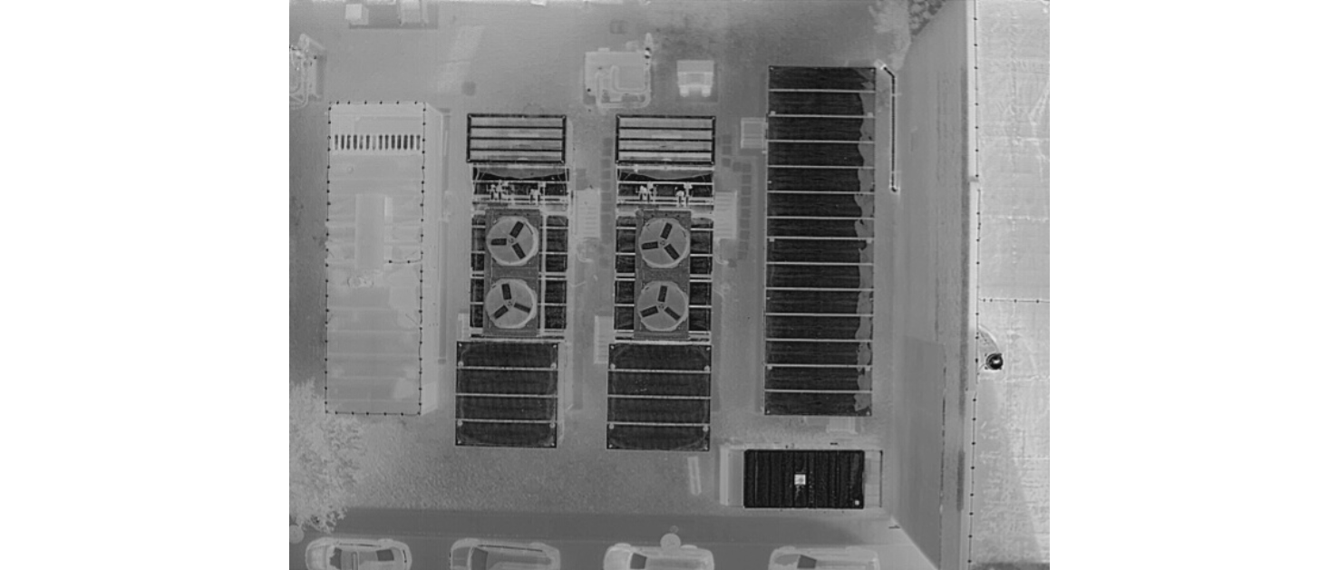
The UMB Drone Program provides these benefits:
- Multi-Sensor Imaging: High-resolution visual spectrum camera, thermal imaging, and low-light night vision for effective operations in daylight, darkness, and through smoke, haze, or other obscurants.
- Rapid Aerial Assessments: Real-time situational awareness during emergencies, identifying hazards such as damaged infrastructure, blocked evacuation routes, or environmental threats without placing personnel in danger.
- Infrastructure Inspection: Safe, efficient access to rooftops, facades, HVAC systems, lighting, green spaces, and other hard-to-reach areas for preventative maintenance and hazard identification.
- Construction Support: Documentation of construction progress, aerial mapping for planning, and early detection of wear or equipment issues to reduce downtime.
- Geospatial Mapping: High-accuracy mapping to support maintenance planning, safety improvements, and landscape management.
- Sustainability and Efficiency: Reduced emissions compared to ground-based inspection vehicles and proactive identification of energy or resource inefficiencies.
Questions or Concerns
Questions may be directed to EmergencyManagement@umaryland.edu.